
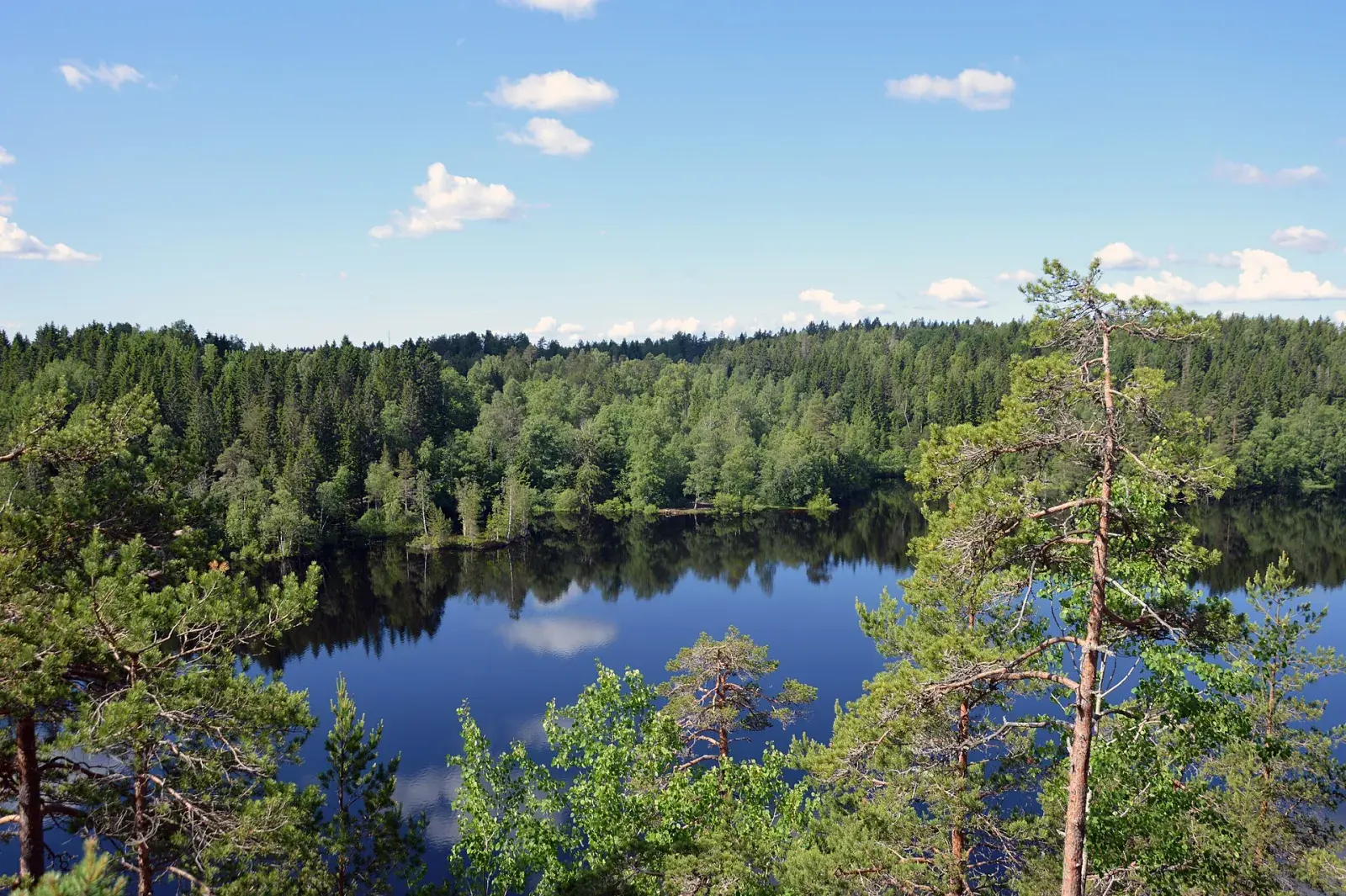
8 routes · 2–14 km
Ånnaboda
The way into Kilsbergen, with parking, a bus, a sauna and swimming. Bergslagsleden and the race courses start here.
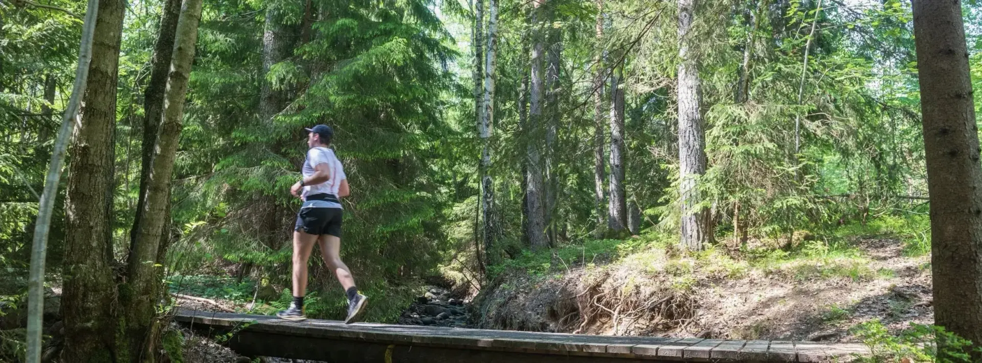
14 routes from 2–22 km, 22 km west of Örebro. Each with a map, elevation profile and GPX.
Short and easy
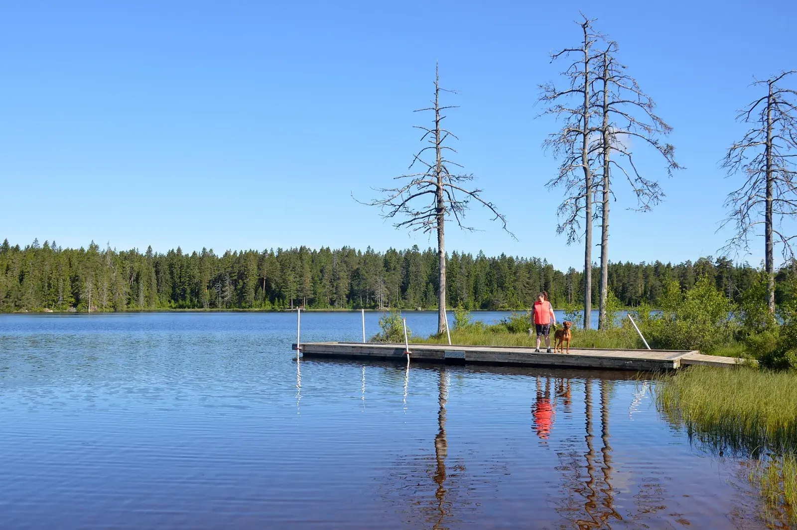
2.3 km · 30 m climbing
A tarmac loop around the lake, passing two swimming spots.
Trails and views
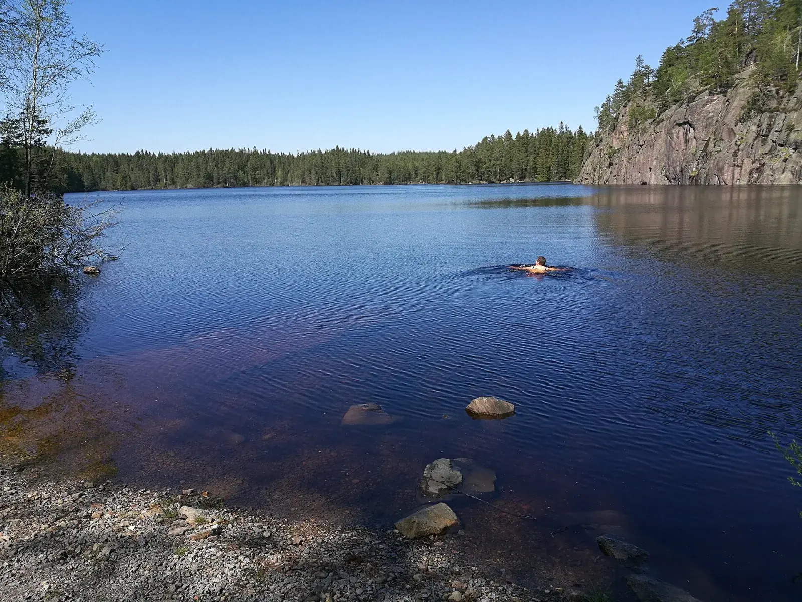
7.9 km · 110 m climbing
Through the reserve and along Falkasjön, with views from Falkaberget.
Hills and a challenge
9.8 km · 280 m climbing
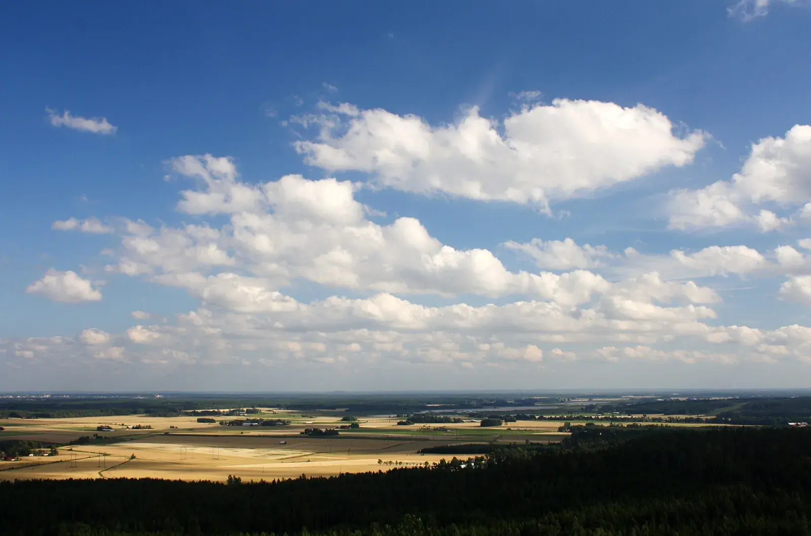
A hilly loop to the views from Rusakulan.
14 routes
Ånnaboda
2.3 km · 30 m ↑ · Loop
15–20 min · Easy
The municipality’s accessible loop around the lake, past both swimming spots. Flat enough for an easy warm-up or a run with a pushchair.
Ånnaboda
7.9 km · 110 m ↑ · Loop
1 h–1 h 15 min
The big loop in the nature reserve: north through the forest, down the west shore of Falkasjön and home over Falkaberget.
The Kilsbergen escarpment
9.7 km · 190 m ↑
1 h 15 min–1 h 35 min · Moderate
Along the Kilsbergen escarpment through four nature reserves, past Kilsbergsstugan at Tomasboda. This is the stage the 21 km of Blue Mountain Trail Run follows to Blankhult.
Ånnaboda
4.5 km · 70 m ↑ · Loop
35–45 min
Through the forest west of the lake to Falkaberget by Falkasjön, where there is a viewpoint, and back south of Södra Ånnabosjön.
Ånnaboda
14 km · 260 m ↑ · Loop
1 h 50 min–2 h 20 min
The course of the Kilsbergen Trailrun race, 2011–2022: the Bergslagsleden trail out towards Suttarboda and back over the ski slope on Storstenshöjden after about 11 km.
Ånnaboda
5.4 km · 150 m ↑ · Loop
45 min–1 h
The short course of the Kilsbergen Trailrun race, with the same climb over Storstenshöjden as the long one.
Ånnaboda
12.1 km · 280 m ↑ · Loop
1 h 40 min–2 h 5 min
From Garphyttan north on the trails west of Björktjärnen up to Falkaberget by Falkasjön, and home over Storstenshöjden. A loop for anyone living in Garphyttan who wants to reach Kilsbergen on foot.
Göljan, Gårdsjön and Trolldalen
5.2 km · 140 m ↑ · Loop
45–55 min · Easy
The loop along the Göljebäcken stream, past Skinnarsågsfallet, one of the highest waterfalls in Kilsbergen, and a field of beach boulders about 10,000 years old.
Göljan, Gårdsjön and Trolldalen
6.5 km · 80 m ↑ · Loop
45 min–1 h · Moderate
Around Stora Gårdsjön with a view of the lake almost all the way, past the day hut on the north-west side and Sjötorpet in the south.
The Kilsbergen escarpment
9.8 km · 280 m ↑ · Loop
1 h 25 min–1 h 45 min · Demanding
Up onto the Kilsbergen escarpment to Rusakulan, the best viewpoint in Kilsbergen, past the Skrikarboda hut and the ruins of old crofts.
South to Lekhyttan
22.6 km · 290 m ↑
2 h 45 min–3 h 30 min
Two stages in one go, south via Suttarboda to Lekhyttan: easy forest paths past lakes and hilly ground on the edges of Kilsbergen.
Ånnaboda
6.4 km · 90 m ↑
45 min–1 h · Moderate
South from Ånnaboda over Falkaberget, overlooking Falkasjön, past Björktjärn to the crofts at Suttarboda. Stage 10 is the shorter part of the route to Lekhyttan.
Ånnaboda
13.6 km · 220 m ↑ · Loop
1 h 45 min–2 h 10 min · Moderate
A loop between Ånnaboda and Suttarboda, over Falkaberget and past Björktjärn. Back to the same start, on forest paths and minor roads.
Pershyttan and Digerberget
9.8 km · 110 m ↑ · Loop
1 h 10 min–1 h 30 min · Moderate
A loop in northern Kilsbergen through the old ironworking village of Pershyttan and the forest around Digerberget. A different part of the area from Ånnaboda, with traces of mining along the way.
Loading map…
Hover over a route to preview it.
From Blue Mountain Trail Run, which runs on the same trails.
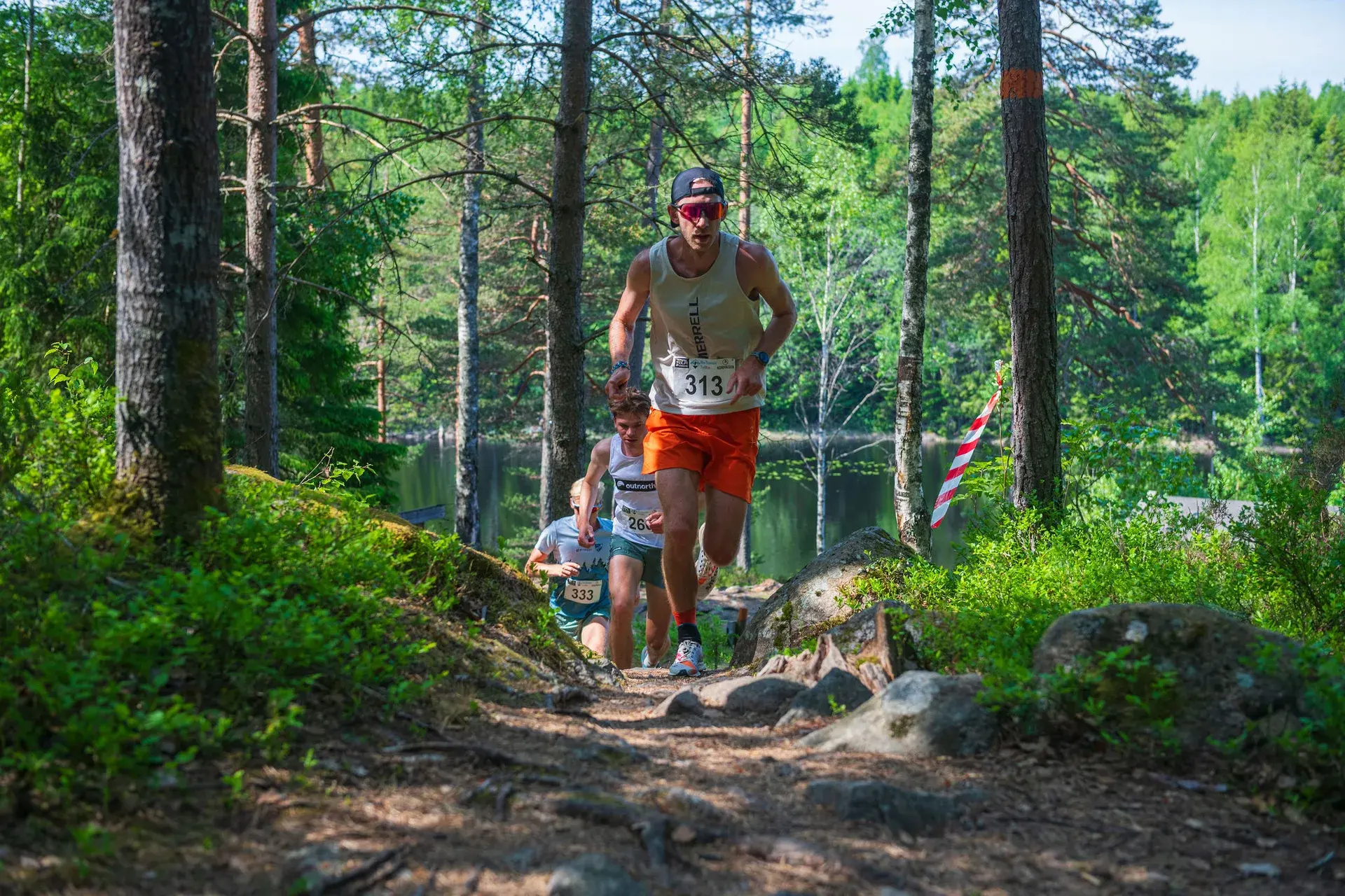
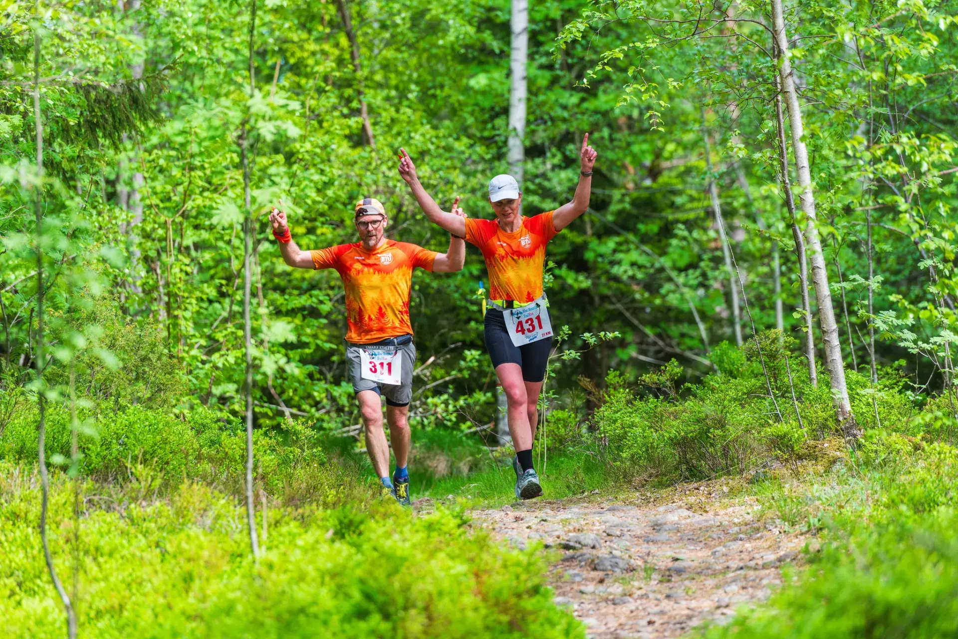
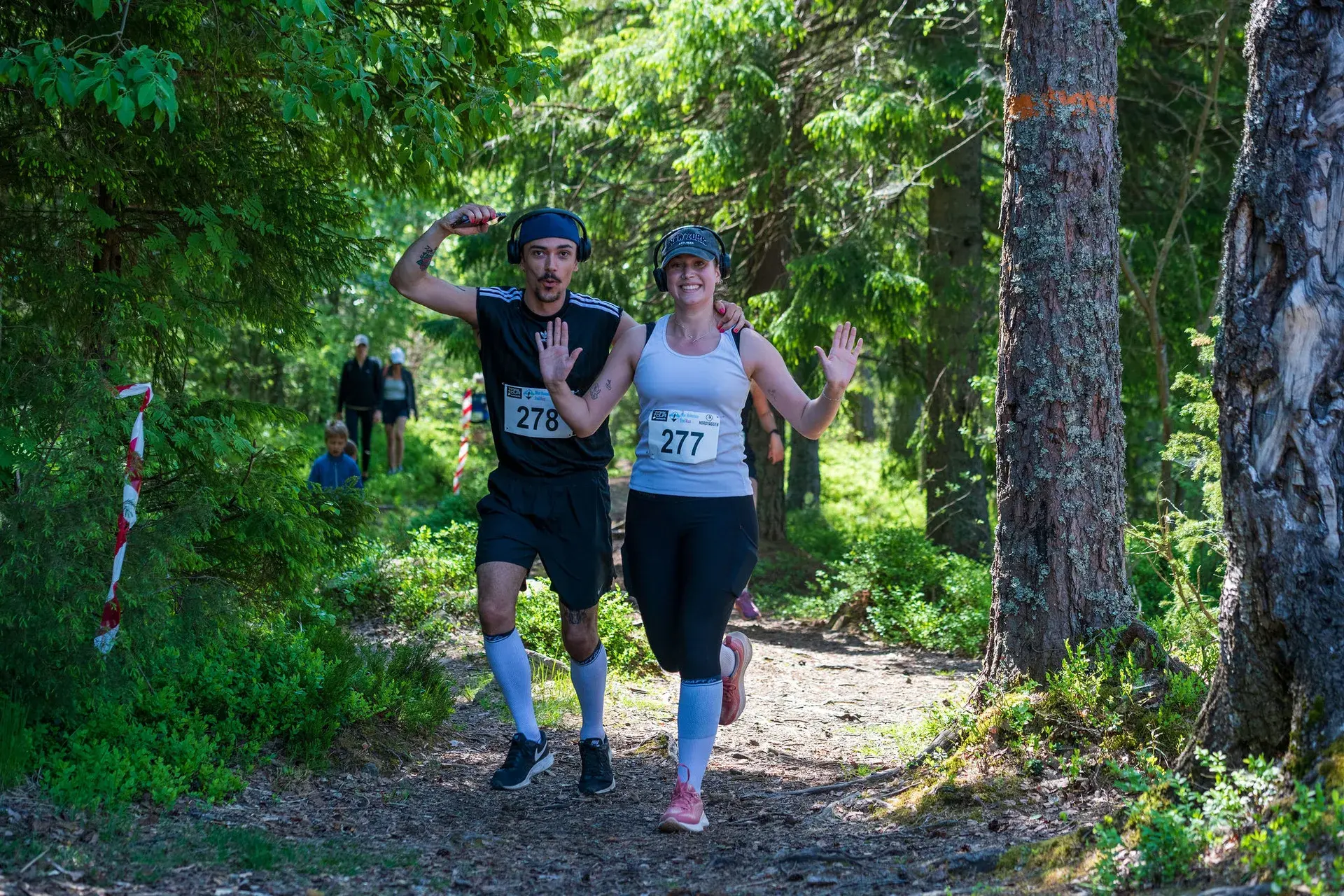
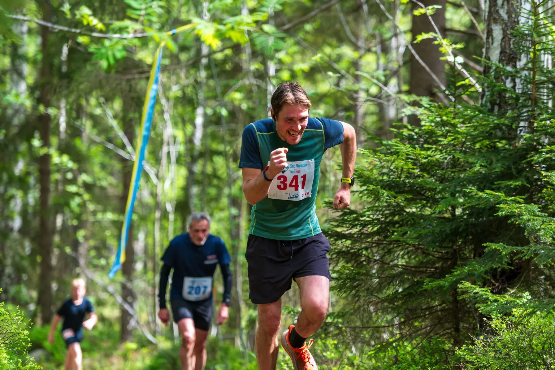
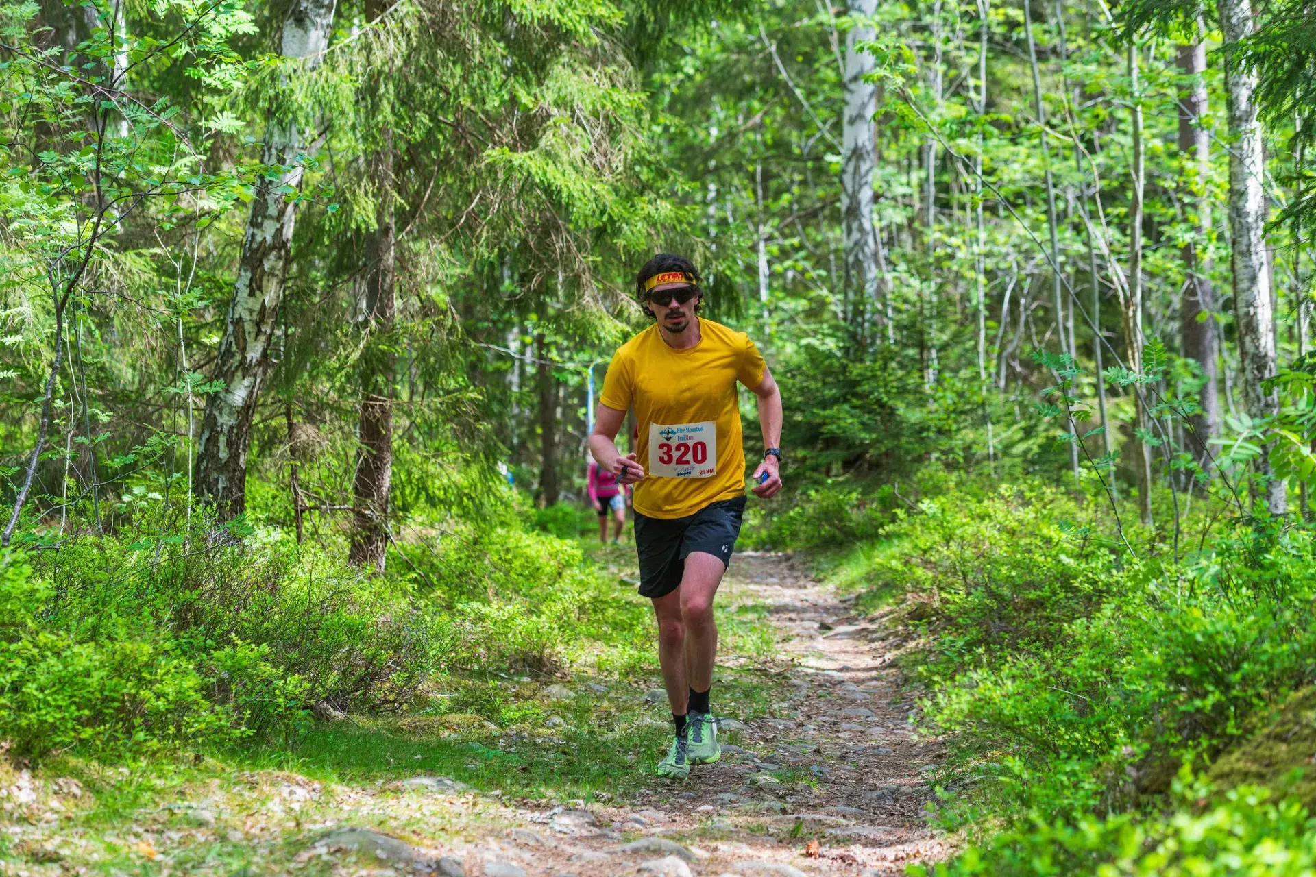
Photos from Blue Mountain Trail Run.
8 routes · 2–14 km
The way into Kilsbergen, with parking, a bus, a sauna and swimming. Bergslagsleden and the race courses start here.
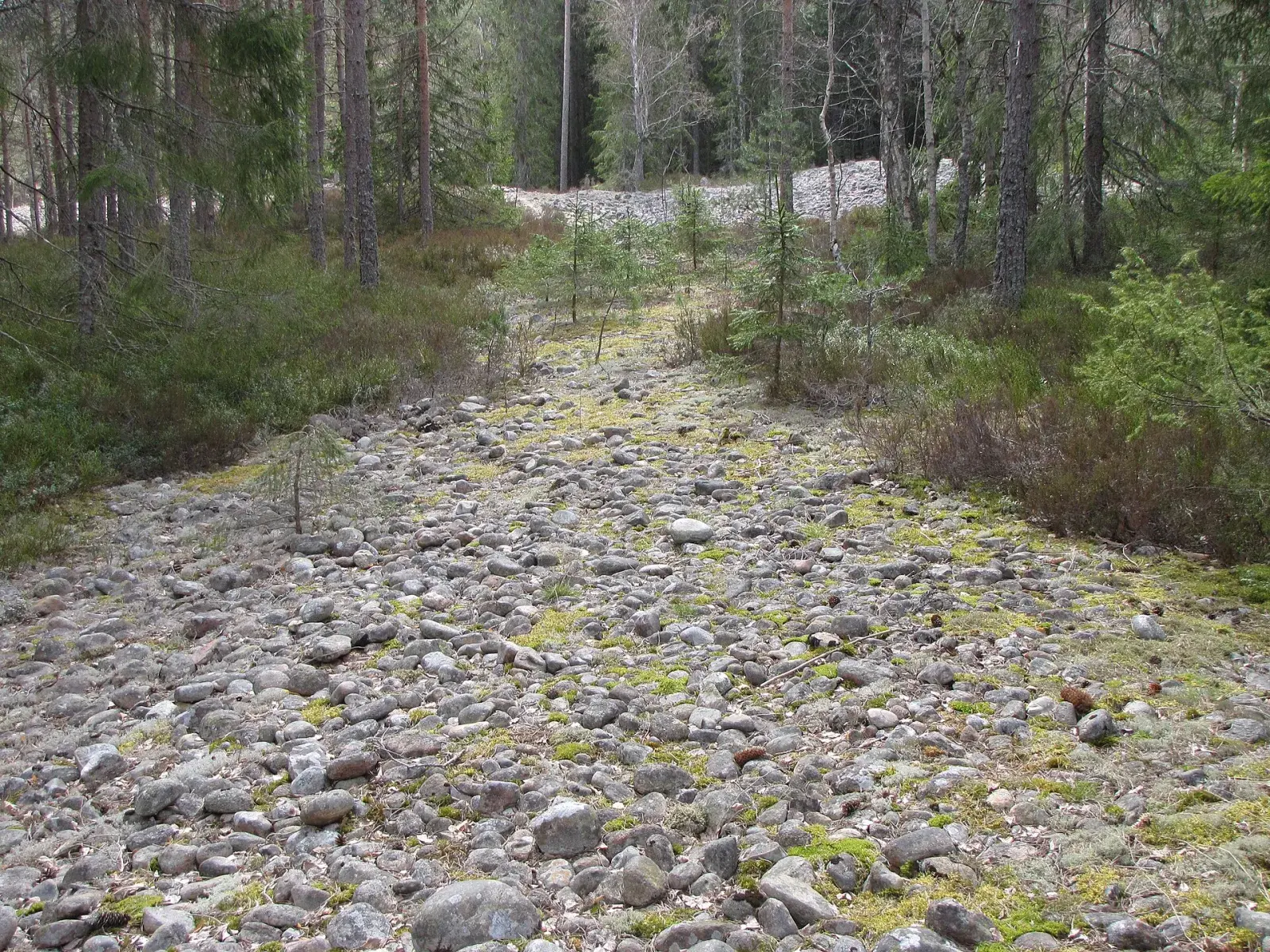
2 routes · 5–6 km
Göljebäcken past one of the highest waterfalls in Kilsbergen, and the Gårdsjön loop with a lake view almost all the way.
2 routes · 9.7–9.8 km
Bergslagsleden along the edge above the Närke plain, past Kilsbergsstugan and up to the view from Rusakulan.
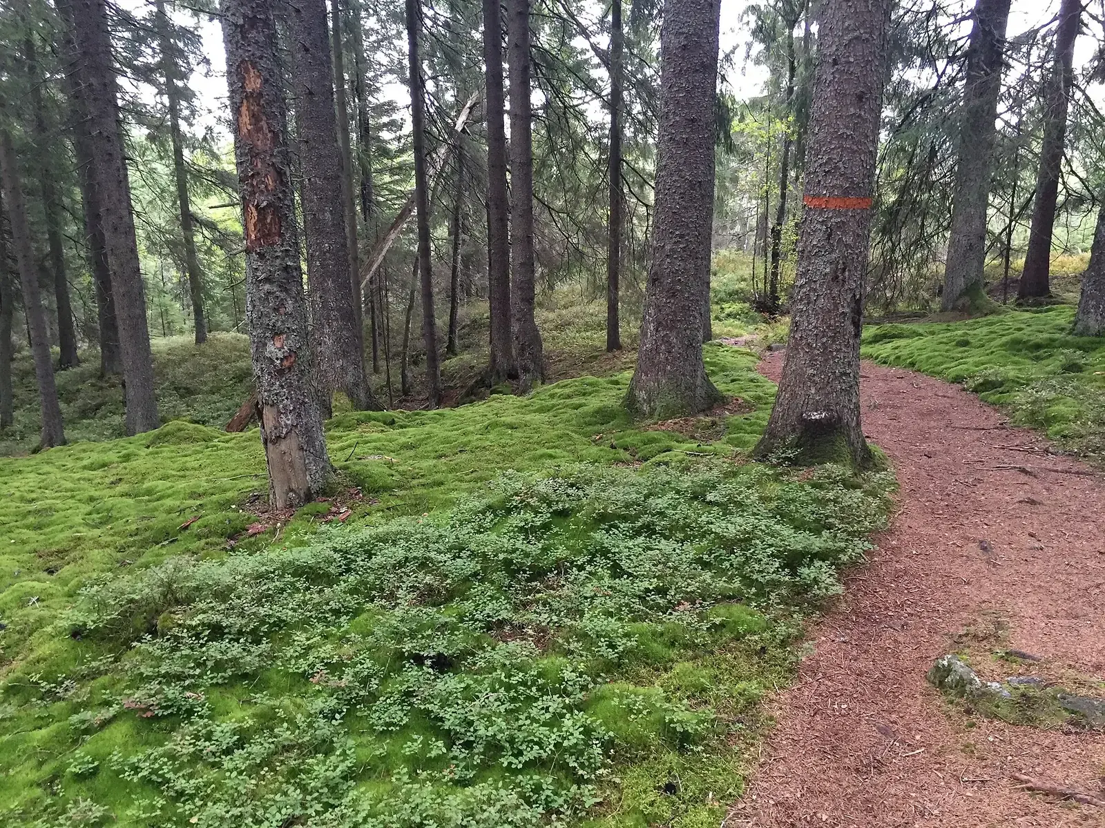
1 route · 22.6 km
Bergslagsleden south, just over 20 km of forest paths past lakes to Lekhyttan.
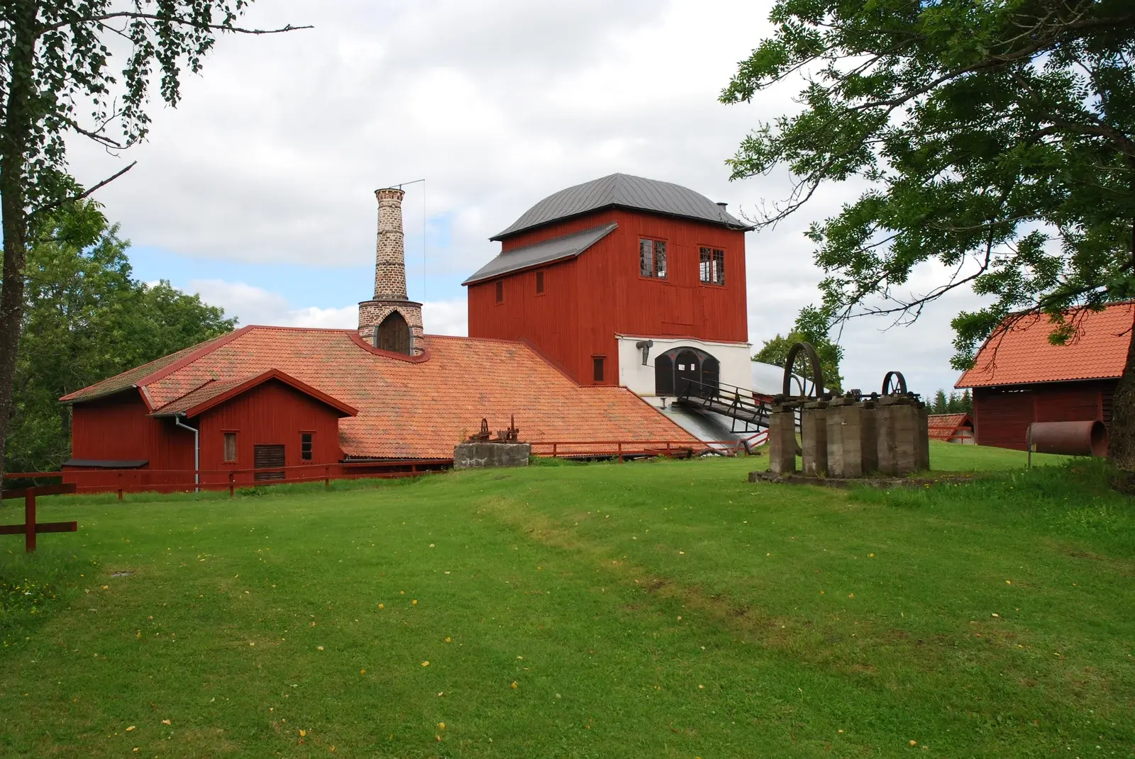
1 route · 9.8 km
Northern Kilsbergen, with a loop through the old ironworking village of Pershyttan and the forest around Digerberget.
After your run
Use Ånnaboda as a base for exploring Kilsbergen. Swim in Södra Ånnabosjön, warm up in the sauna or stay the night and run another route tomorrow.
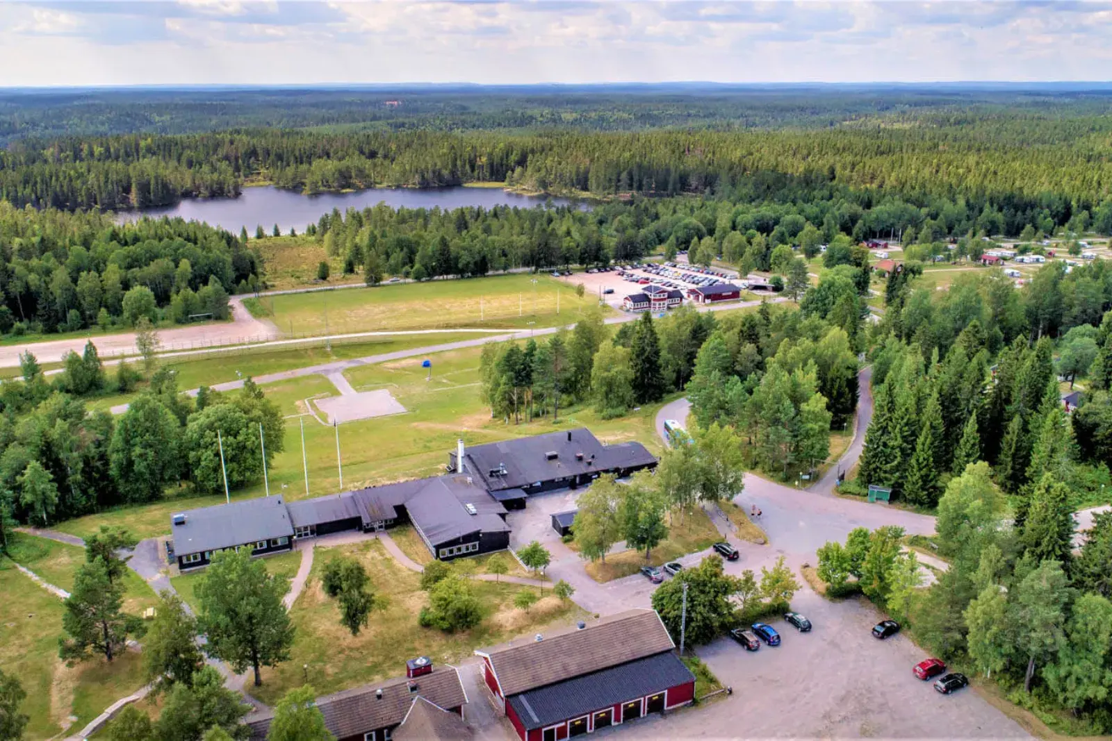
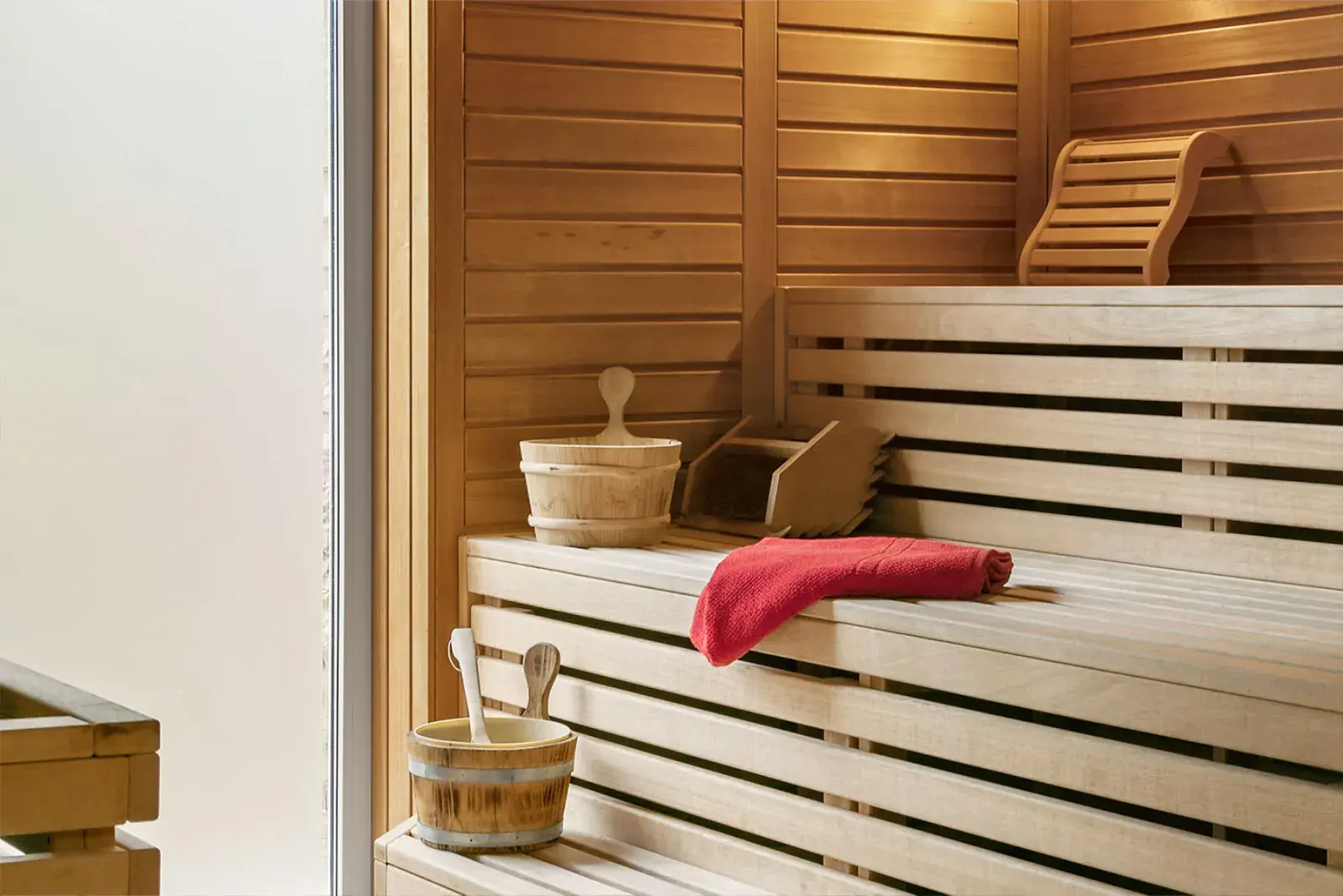
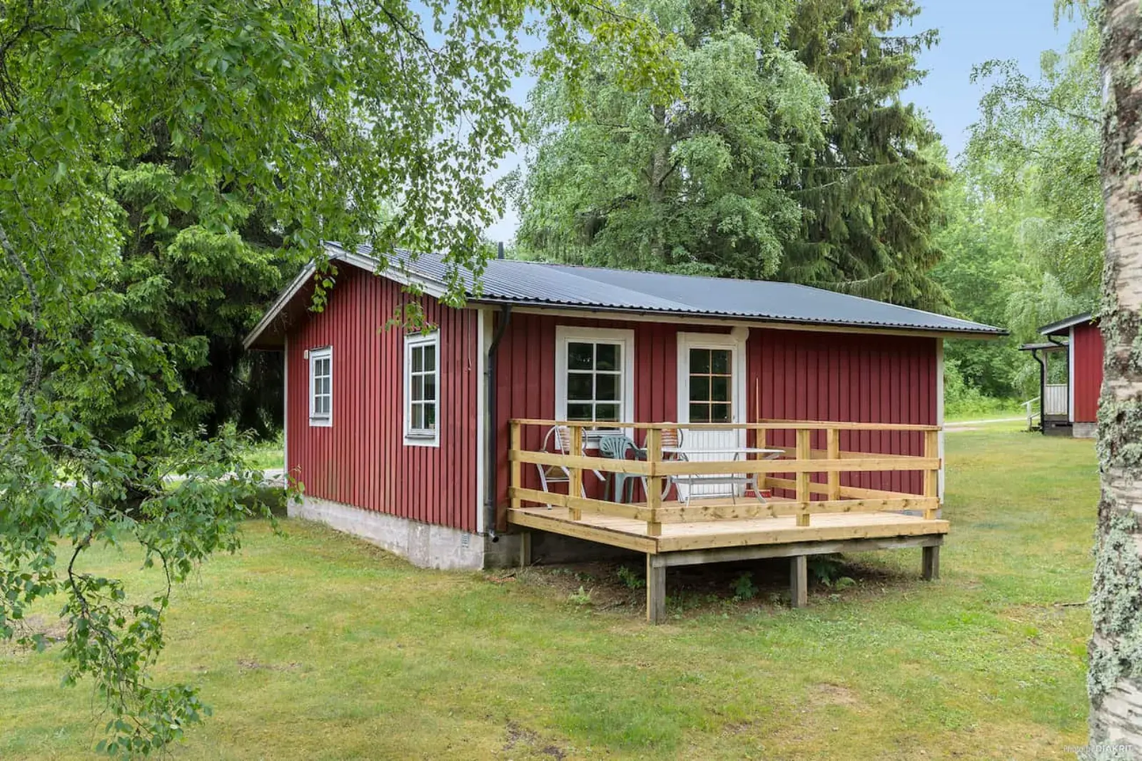
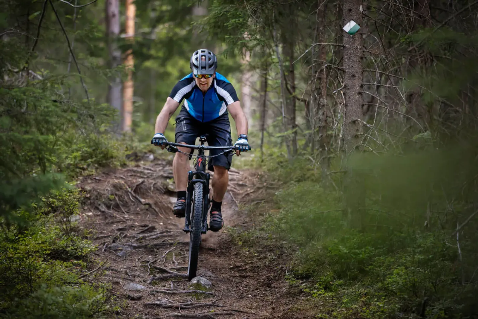
Photos: First Camp, and DimiTalen (CC0) for Södra Ånnabosjön.
There are several car parks at Ånnaboda, and parking close to the routes at Gårdsjötorp and at Blankhult school.
Ånnaboda and several of the areas along the trails are nature reserves and Natura 2000 sites. Follow the reserve rules on the signs, stay on the trails and take everything you bring back out.
The western and north-western parts of Kilsbergen are owned by Bofors Test Center and the Swedish Fortifications Agency, and the Armed Forces train there, so you sometimes hear bangs. The municipality’s maps show the ranges west of Ånnaboda and Gårdsjön. Follow the signs and keep out of closed areas.
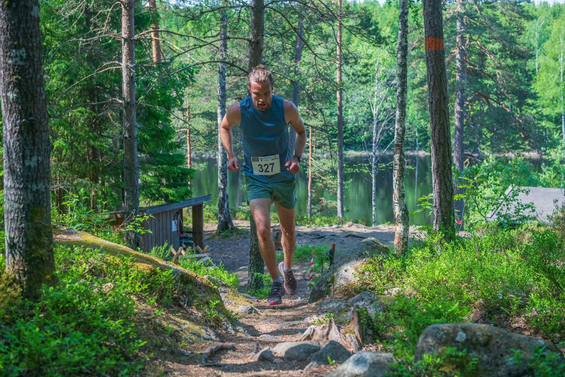
Saturday 29 May 2027 · First Camp Ånnaboda
Four courses of 6, 10, 15 and 21 km. Organised by Garphyttans Idrottsförening.
2011–2022 · History
A different race, held in September from SM-stugan at Ånnaboda. Both courses can still be run.
Kilsbergen Trailrun 2011–2022 (in Swedish)Another race in the area
Trail and Run’s race from Ånnaboda has three out-and-back sections and a choice of 10, 26 or 54 km in total. The organiser announces the next edition for spring 2027; check their page for current information.
Information from the organiser (in Swedish)Blue Mountain Trail Run is held in May from First Camp Ånnaboda with four courses of 6, 10, 15 and 21 km. Kilsbergen Ut & Tillbaka offers 10, 26 or 54 km from Ånnaboda and is announced for spring 2027. Kilsbergen Trailrun, a different race with 5 and 14 km in September, was held from 2011 to 2022 from SM-stugan at Ånnaboda.
In Kilsbergen at Ånnaboda, 22 km west of Örebro. There are the municipality’s loops of 2.5, 5 and 8 km, Göljestigen, the Gårdsjön loop and the Bergslagsleden trail north to Blankhult and south to Lekhyttan.
The loop around Södra Ånnabosjön is 2.3 km with 30 m of climbing, on tarmac all the way. For paths and gravel roads, Falkaberget is 4.5 km with 70 m of climbing. Both start in Ånnaboda.
No. Bergslagsleden stage 9 to Blankhult, stage 10 to Suttarboda and stages 10–11 to Lekhyttan are one way; plan a lift, bus or return run. Bergslagsleden is marked in orange. Olas runda and the former race courses are not marked, so bring the GPX file.
Yes, Länstrafiken bus 590 runs from Örebro’s bus terminal (Resecentrum) to Ånnaboda in 40 minutes, but only at weekends and in school holidays, a few times a day.
No. Kilsbergen Trailrun was organised by AH Event with KFUM Örebro Orientering and IF Örebrolöparna. Blue Mountain Trail Run has been organised since 2023 by the orienteering section of Garphyttans IF. Same forest, different races.
