Short loop by the waterfall
At Skinnarsågsfallet the guide describes a turn north onto a shorter loop of about 1 km. Follow the signs on site; our GPX file shows the long route.
Trail guide (in Swedish) →Göljan, Gårdsjön and Trolldalen
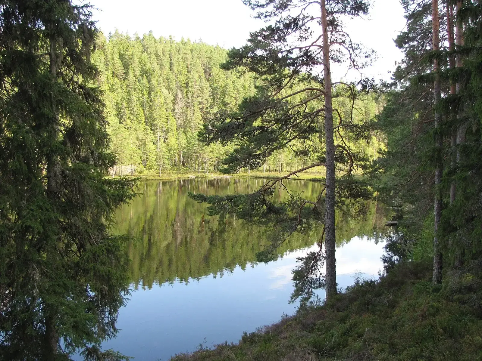
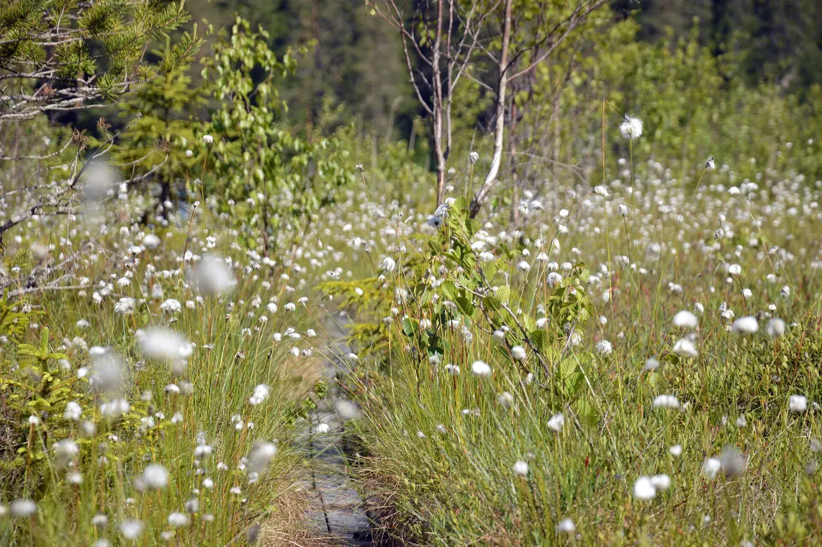
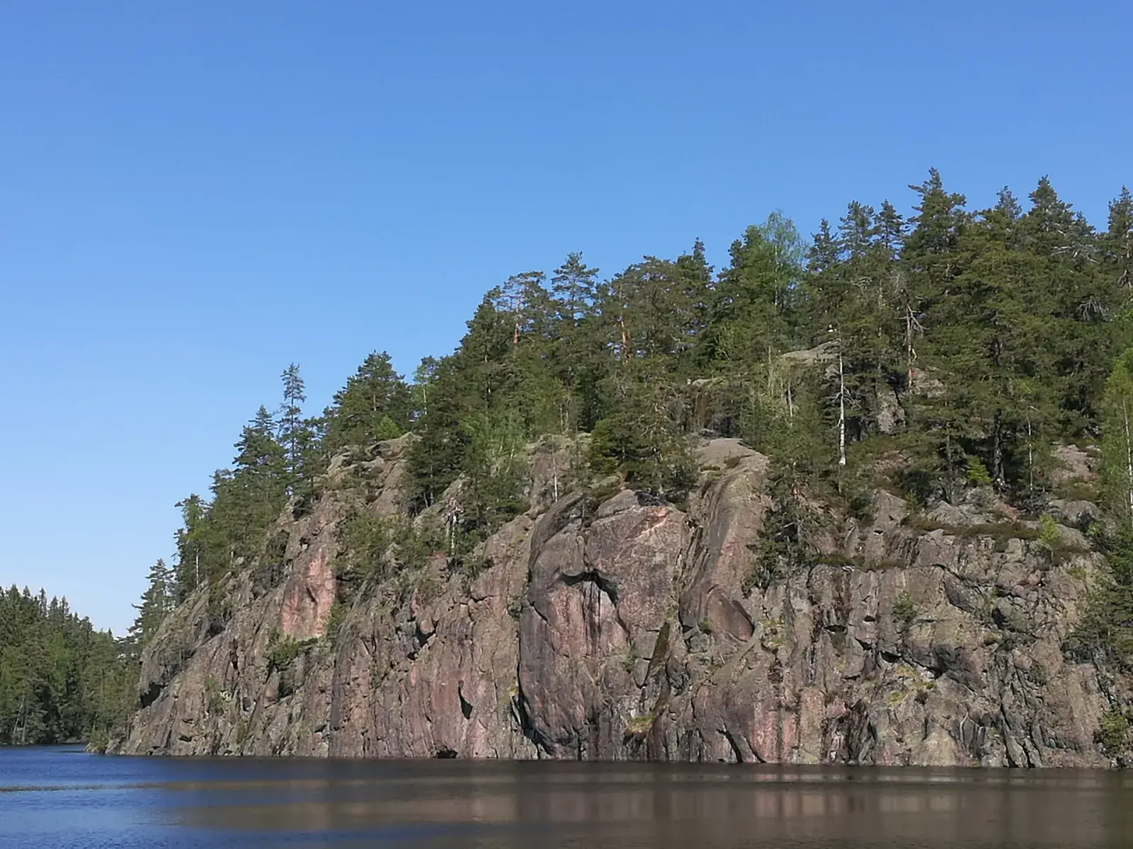
The loop along the Göljebäcken stream, past Skinnarsågsfallet, one of the highest waterfalls in Kilsbergen, and a field of beach boulders about 10,000 years old.
From the start of the GPX track. Choose a place to see it on the map and elevation profile.
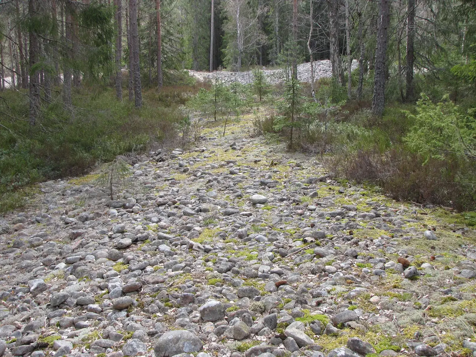
North of Ånnaboda the Göljebäcken stream runs down from Kilsbergen. Göljestigen follows it past Skinnarsågsfallet, one of the highest waterfalls in Kilsbergen, and a field of beach boulders about 10,000 years old.
At Gårdsjötorp the Gårdsjön loop starts, 7 km with a view of the lake almost all the way, and the short Lilla Gårdsjö loop. In the same forest is the Reservatslingan loop, 10 km through the Trolldalen, Vargkitteln and Lövbrickan nature reserves. Trollgrytan, a giant’s kettle, is in Trolldalen.
Not verified at the start
Not verified along the route
Bring the GPX track; waymarking is not verified.
Toilets and drinking water have not been verified for this route. Bring the water you need.
Start: Ånnaboda via the Bergslagsleden trail, or the car park at Lövbrickan
At Skinnarsågsfallet the guide describes a turn north onto a shorter loop of about 1 km. Follow the signs on site; our GPX file shows the long route.
Trail guide (in Swedish) →Beyond the meditation spot the guide describes a turn north with about 1.8 km back to the start. This describes the return section, not a verified total loop distance.
Trail guide (in Swedish) →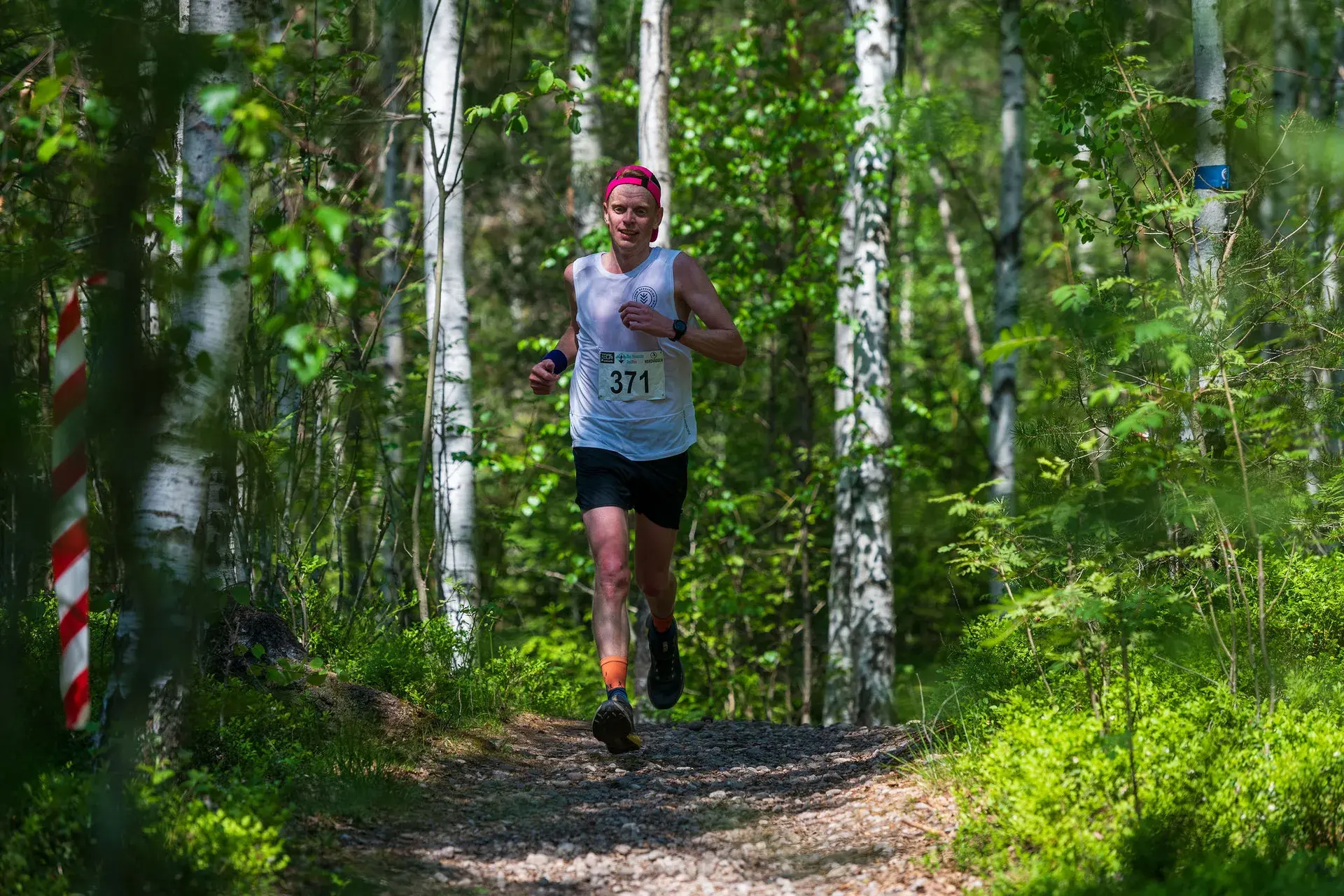
Saturday 29 May 2027 · First Camp Ånnaboda
Enjoy these hills with a marked course, timing and other runners.
The short loop around the lake, a good first trail race.
Compared with this route: 0.8 km more, 40 m of climbing less.
Explore this course →