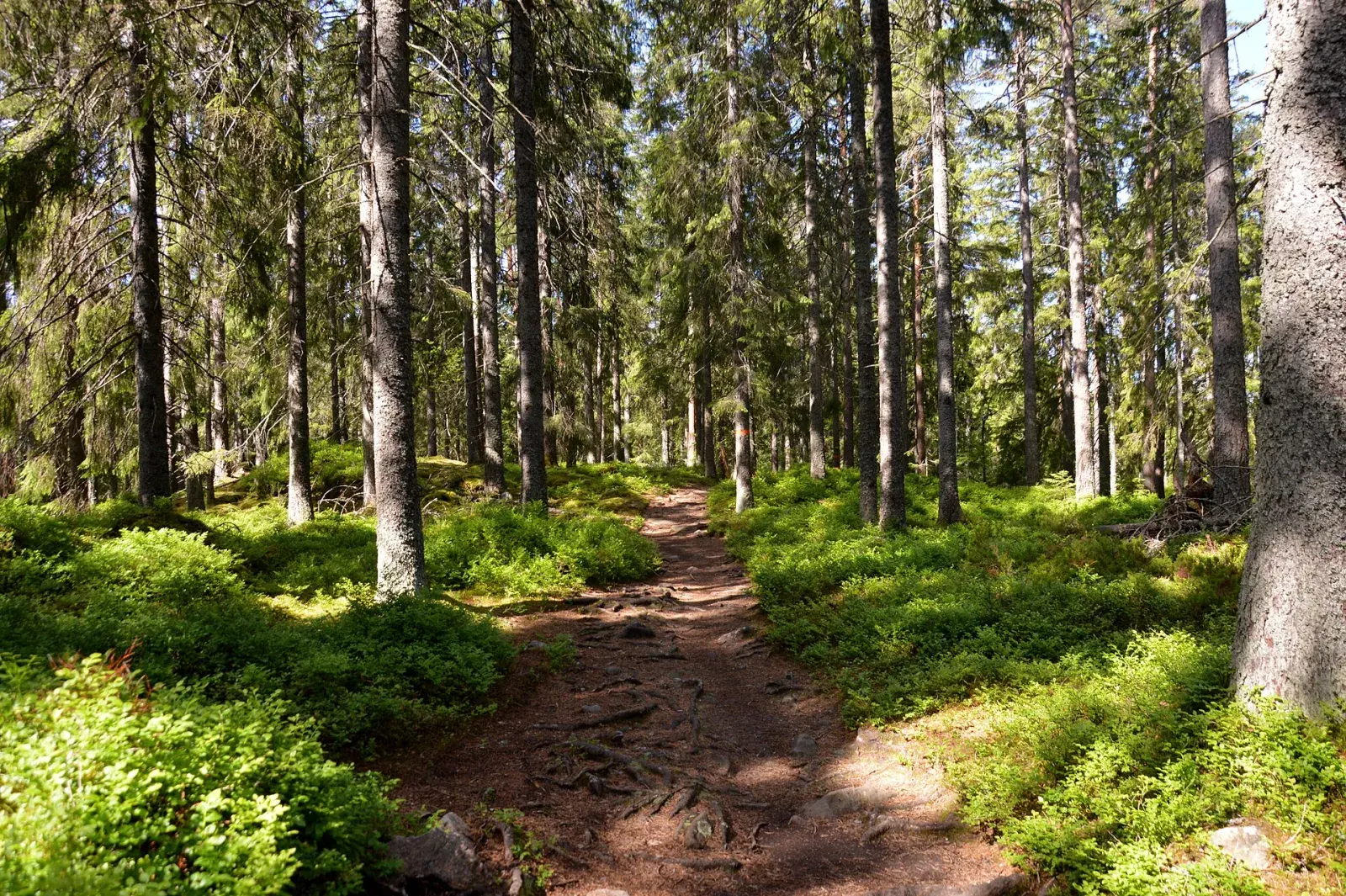
Shorter option: stage 10 to Suttarboda
Choose just the first stage to finish at Suttarboda. This is also a one-way route.
Explore the route →South to Lekhyttan
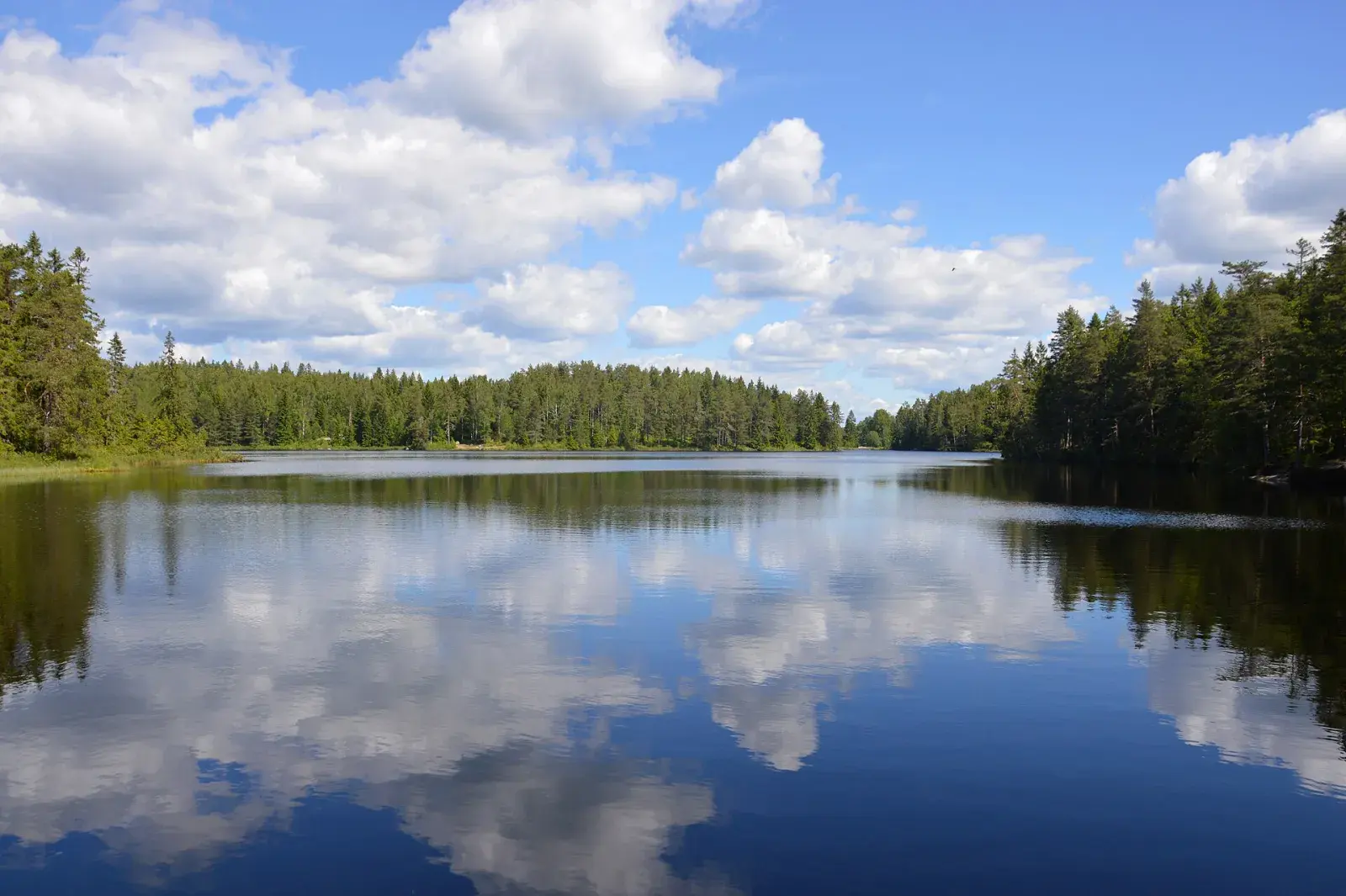
Two stages in one go, south via Suttarboda to Lekhyttan: easy forest paths past lakes and hilly ground on the edges of Kilsbergen.
From the start of the GPX track. Choose a place to see it on the map and elevation profile.
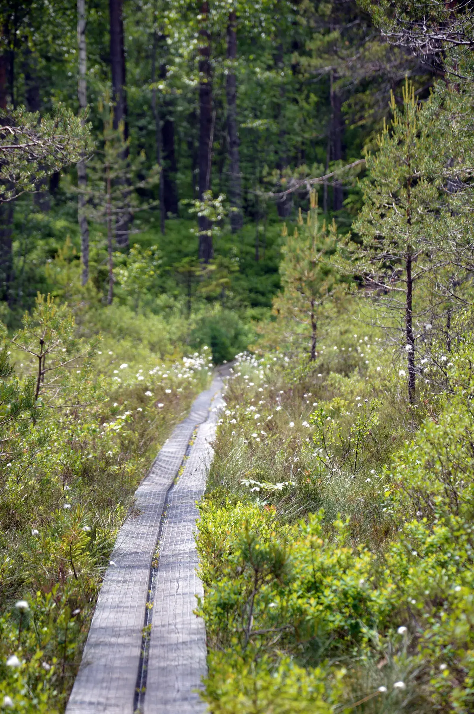
The Bergslagsleden trail carries on south from Ånnaboda. Stage 10 goes to Suttarboda and stage 11 on to Lekhyttan, just over 20 km in all on forest paths, past lakes and over the hilly edges of Kilsbergen. Lekhyttan has a bus stop.
Lekhyttan is also the start of the Signaturled Bergslagen trail, just over 60 km through forests and past lakes to the wooden town of Nora.
Not verified along the route
Marked in orange on trees and posts, like the whole Bergslagsleden trail.
Toilets and drinking water have not been verified for this route. Bring the water you need.
Start: Ånnaboda or Lekhyttan (one way)
Parking: Car park, Ånnaboda
Bus: Länstrafiken bus 590 runs from Örebro’s bus terminal (Resecentrum) to Ånnaboda in 40 minutes, but only at weekends and in school holidays, a few times a day. Check the times at lanstrafiken.se.
Choose just the first stage to finish at Suttarboda. This is also a one-way route.
Explore the route →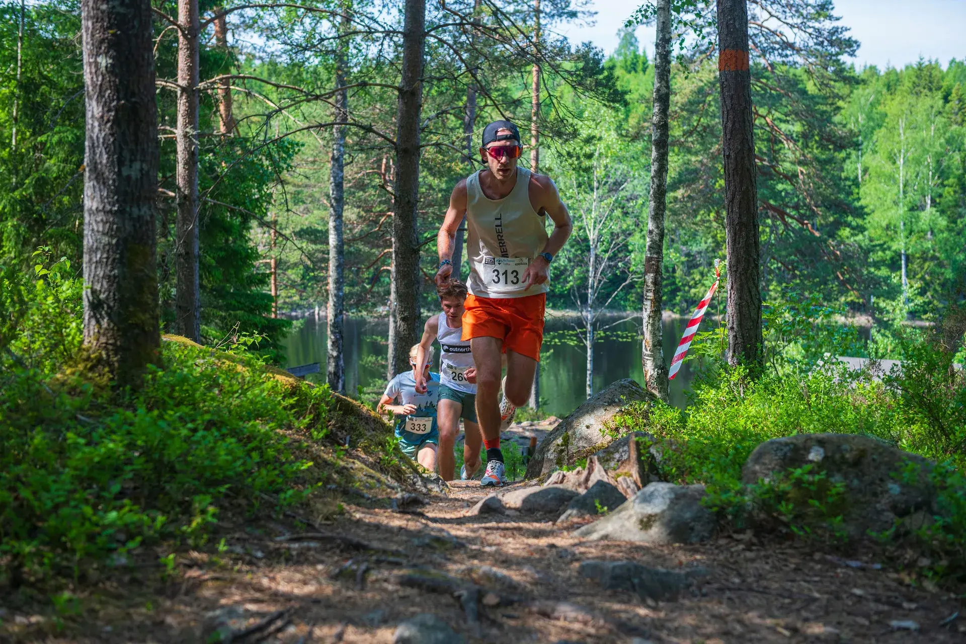
Saturday 29 May 2027 · First Camp Ånnaboda
Enjoy these hills with a marked course, timing and other runners.
The long loop, with climbing and technical trail.
Compared with this route: 1.6 km less, 237 m of climbing more.
Explore this course →