
Ånnaboda
Ola’s loop
- Estimated time at a jogging pace
- 1 h 40 min–2 h 5 min
- Distance
- 12.1 km
- Climb
- 280 m
- Route type
- Loop
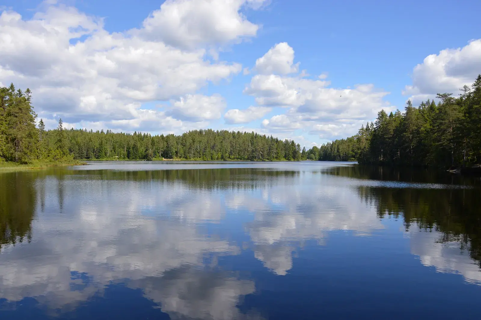
From Garphyttan north on the trails west of Björktjärnen up to Falkaberget by Falkasjön, and home over Storstenshöjden. A loop for anyone living in Garphyttan who wants to reach Kilsbergen on foot.
Map
Along the way
From the start of the GPX track. Choose a place to see it on the map and elevation profile.
- Distance
- 12.1 km
- Climbing
- 280 m
- Surface
- Trail and forest track
- Route
- Loop
- Start
- Bruksvägen in Garphyttan
Ånnaboda
Ånnaboda is the way into Kilsbergen, 22 km west of Örebro. There is parking, a bus from Örebro at weekends and in school holidays, and First Camp with a sauna and swimming in Södra Ånnabosjön when you are done. Both the Bergslagsleden trail and the Blue Mountain Trail Run courses start here.
The nature reserve around Södra Ånnabosjön and Falkasjön is full of trails. Örebro municipality shows three loops of 2.5, 5 and 8 km, and the numbered mountain-bike trails add more: narrow, soft forest paths that are just as good for running.
From Falkaberget you look out over Falkasjön, and from Sånnabodahöjden, 266 m above sea level, over the whole Närke plain.
Plan your run
Parking
Not verified at the start
Swimming
Not verified along the route
Waymarking
A loop of our own, not marked. Bring the GPX file.
Toilets and drinking water have not been verified for this route. Bring the water you need.
Getting there
Start: Bruksvägen in Garphyttan
Good to know
- A loop of our own, not marked. Bring the GPX file.
- It starts in Garphyttan, so you can run from home if you live there.
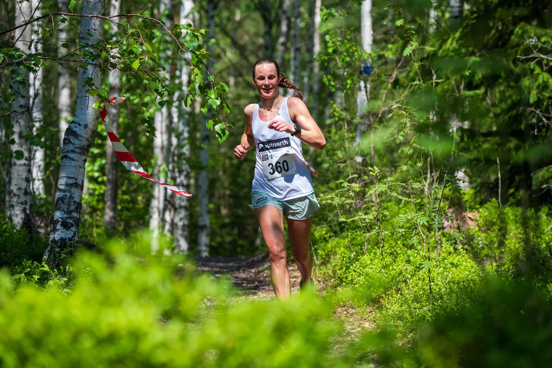
Saturday 29 May 2027 · First Camp Ånnaboda
Find your Blue Mountain distance
Enjoy these hills with a marked course, timing and other runners.
10 km · Trolldalsvägen
A classic 10 km through Trolldalen.
Compared with this route: 2.1 km less, 50 m of climbing less.
Explore this course →Similar routes
Suttarboda loop
13.6 km · 220 m of climbing
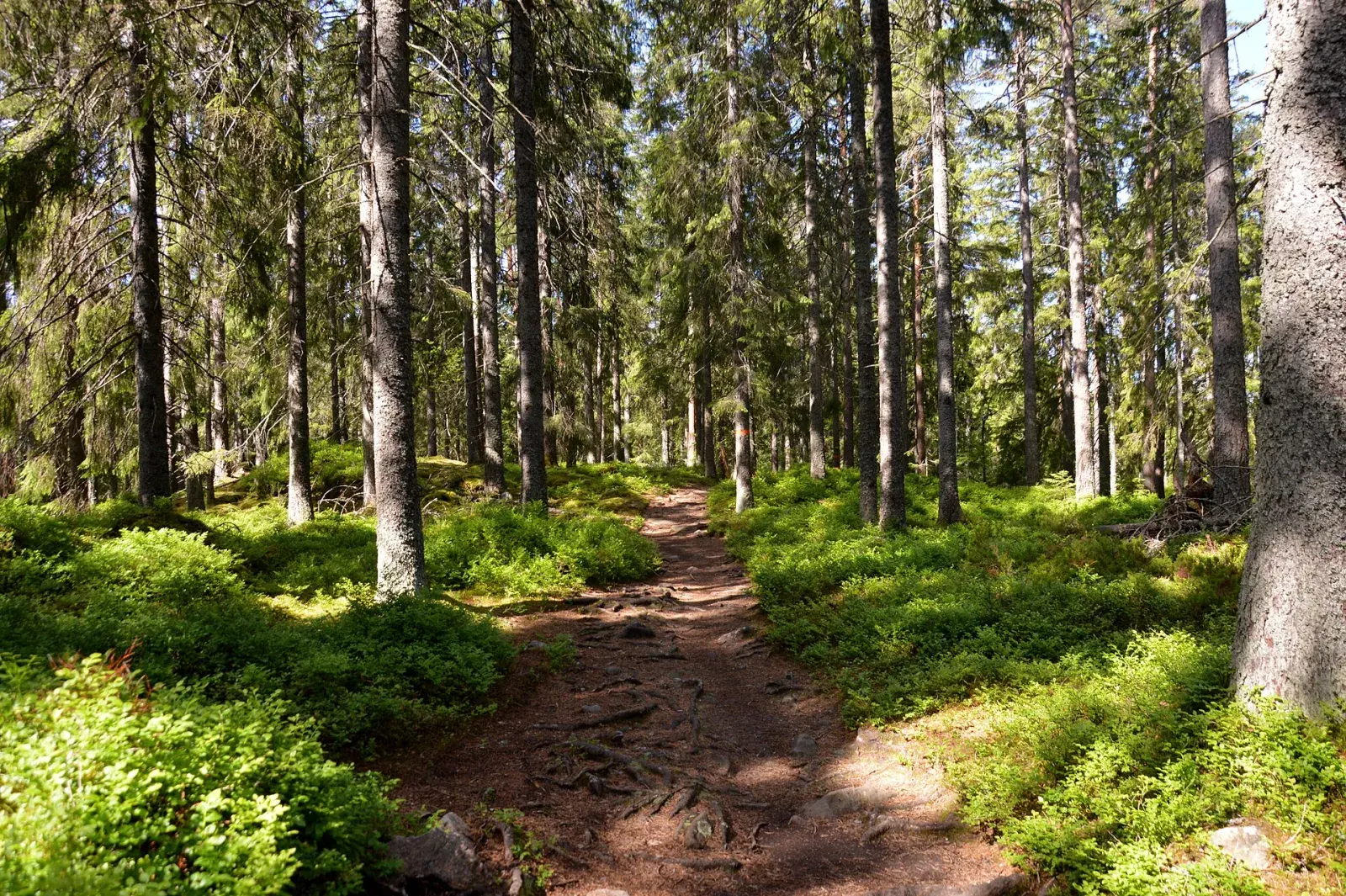
The Kilsbergen Trailrun long course
14.0 km · 260 m of climbing
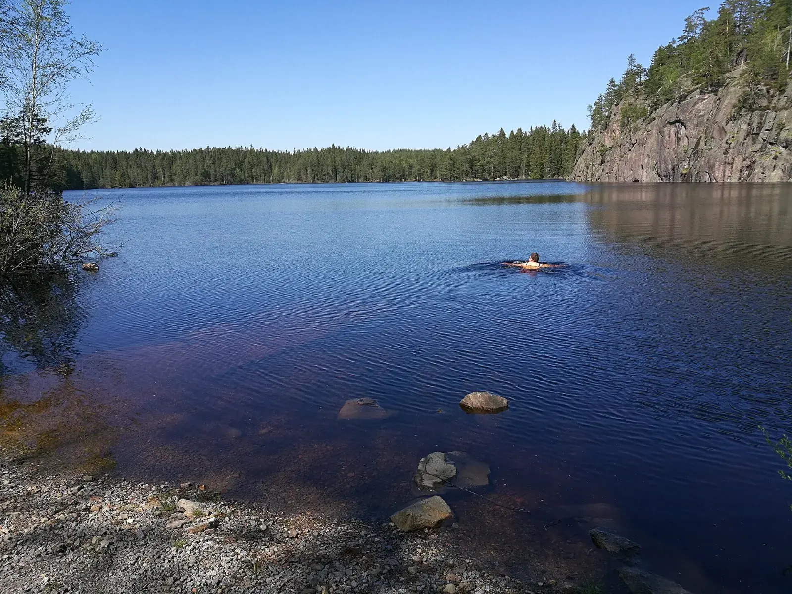
Around Falkasjön
7.9 km · 110 m of climbing
A club member’s own loop, drawn from the GPS track of a run.