The Kilsbergen escarpment: Blankhult and Rusakulan
The Blankhult loop
- Estimated time at a jogging pace
- 1 h 25 min–1 h 45 min
- Distance
- 9.8 km
- Climb
- 280 m
- Difficulty
- Demanding
- Route type
- Loop
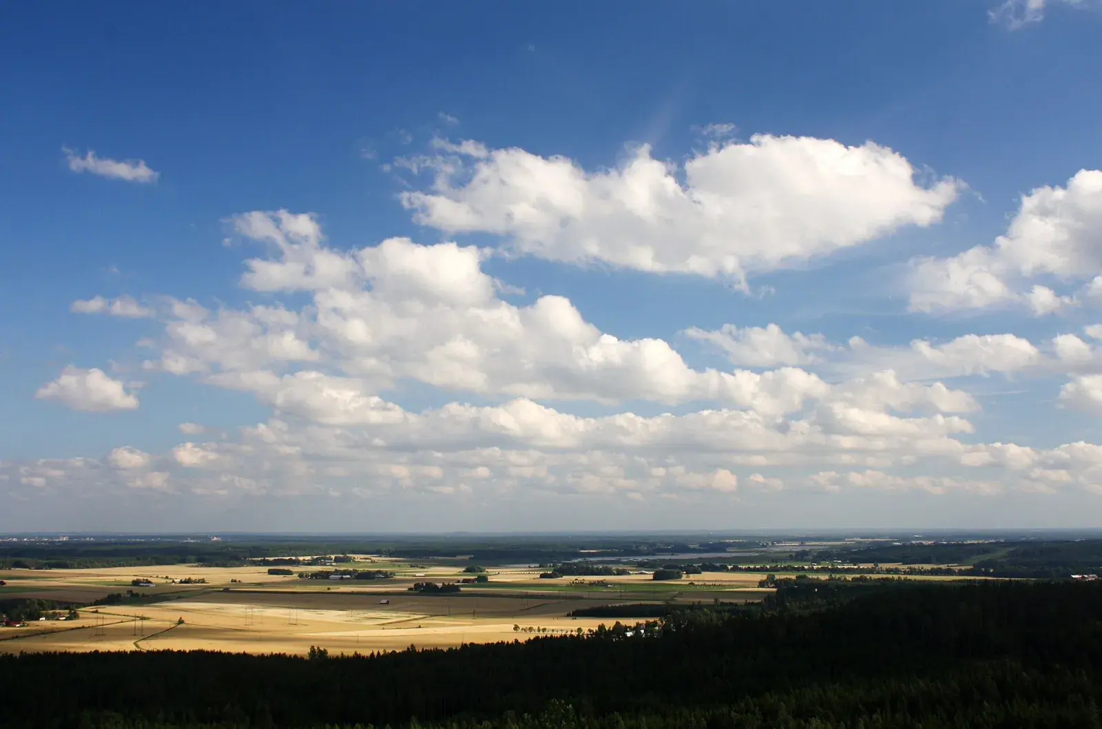
Up onto the Kilsbergen escarpment to Rusakulan, the best viewpoint in Kilsbergen, past the Skrikarboda hut and the ruins of old crofts.
Map
Along the way
From the start of the GPX track. Choose a place to see it on the map and elevation profile.
- Distance
- 9.8 km
- Climbing
- 280 m
- Surface
- Trail, demanding and hilly in places
- Route
- Loop
- Start
- Blankhult
The Kilsbergen escarpment: Blankhult and Rusakulan
Where Kilsbergen drops to the Närke plain, the Bergslagsleden trail runs along the edge. Stage 9 between Ånnaboda and Blankhult is the classic trail run in Kilsbergen: moderate and beautiful, through four nature reserves and past Tomasbodahöjden, the highest point in Kilsbergen.
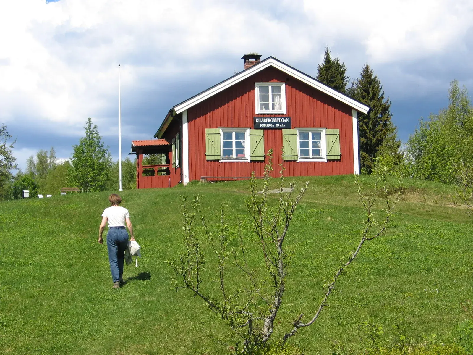
At Tomasboda stands Kilsbergsstugan, which has been a rest stop and café at winter weekends since 1928. From Blankhult a loop climbs to Rusakulan, the best viewpoint east over the plain, and stage 8 carries on towards Mogetorp for anyone who wants more.
Plan your run
Parking
Car park, Blankhult school
About 120 m from the GPX start, as the crow flies.
Directions to parkingSwimming
Not verified along the route
Waymarking
Bring the GPX track; waymarking is not verified.
Toilets and drinking water have not been verified for this route. Bring the water you need.
Getting there
Good to know
- Rusakulan is the best viewpoint east from the Kilsbergen escarpment.
- The loop is demanding and hilly in places. Allow more time than the distance suggests.
Saturday 29 May 2027 · First Camp Ånnaboda
Find your Blue Mountain distance
Enjoy these hills with a marked course, timing and other runners.
10 km · Trolldalsvägen
A classic 10 km through Trolldalen.
Compared with this route: 0.2 km more, 50 m of climbing less.
Explore this course →